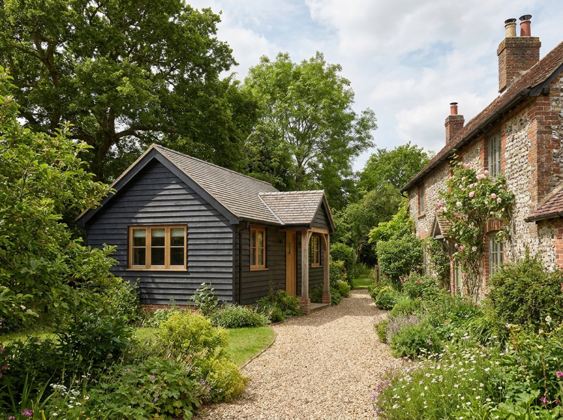
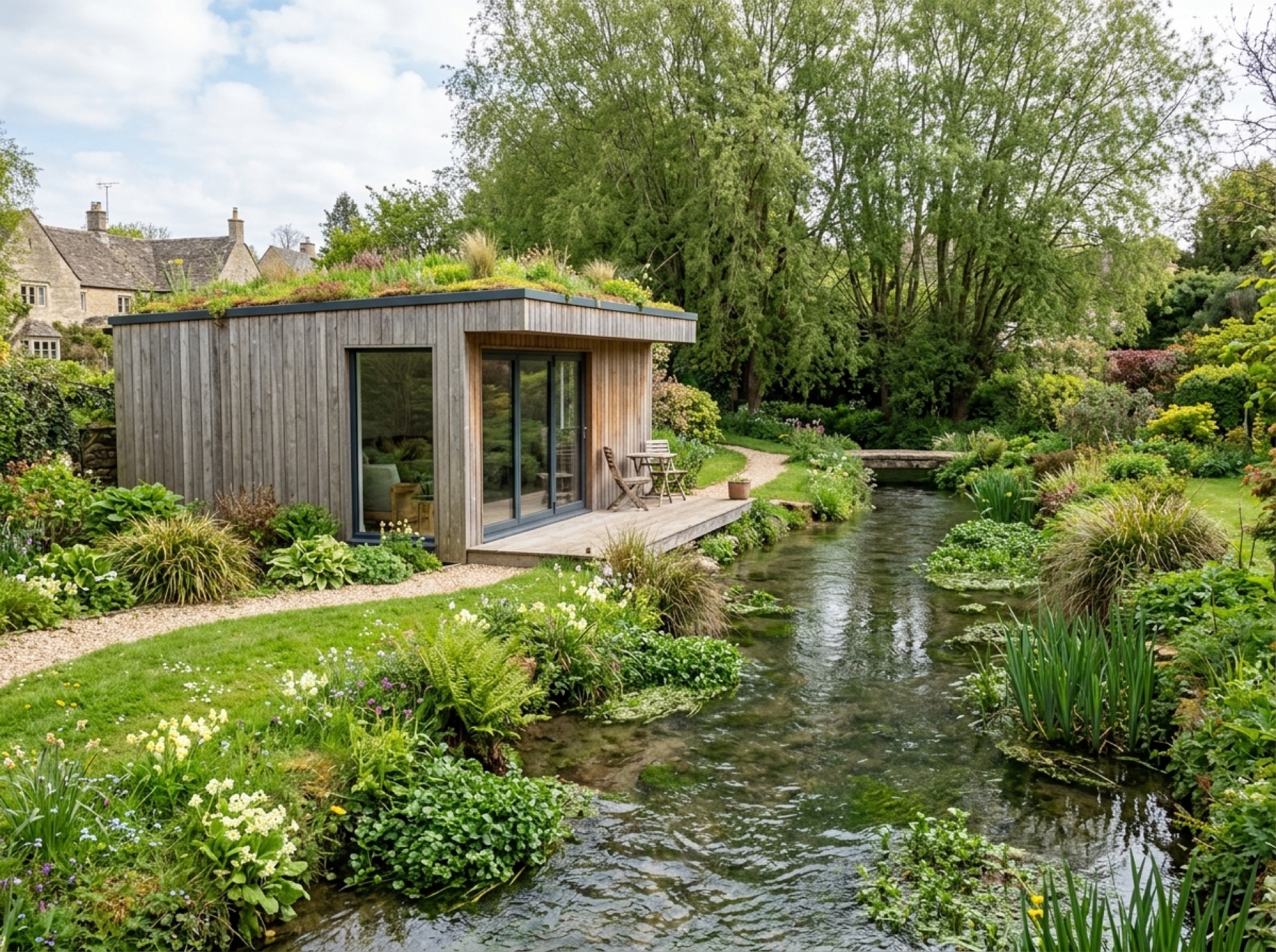
A village near a source of the Itchen
One of the sources of the River Itchen rises close to Cheriton, giving the surrounding countryside the chalk stream character found throughout this part of Hampshire.
Planning authority
Planning permission and permitted development questions in Cheriton go to Winchester City Council, which administers the whole of this part of Hampshire including New Alresford itself.
Close to the South Downs
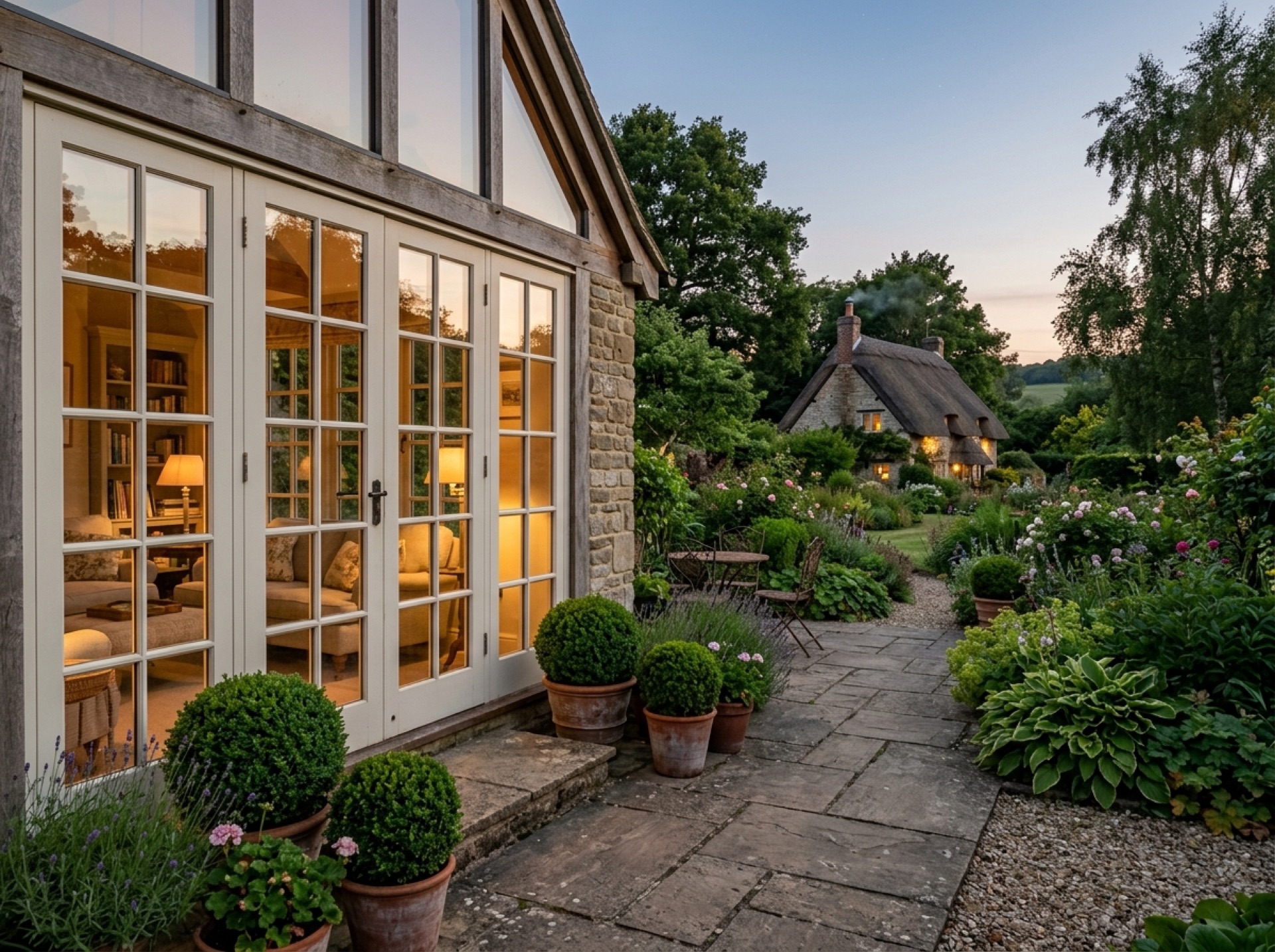
Cheriton sits close to the western edge of the South Downs National Park, so it's worth checking a specific address against the boundary, since the South Downs National Park Authority becomes the relevant planning body for any property that falls inside it.
Frequently asked questions
Is Cheriton within the South Downs National Park?+
Parts of the area may be, given how close the village sits to the park's western edge, so it's worth checking a specific address using the South Downs National Park Authority's own boundary tool.
Which council usually covers planning in Cheriton?+
Winchester City Council, unless a property falls within the South Downs National Park boundary, in which case the park authority takes over.
What is Cheriton known for historically?+
The village is best known for the 1644 Battle of Cheriton, an important Parliamentarian victory during the First English Civil War.
Nearby areas
Services
Useful local links
- Winchester City Council — Planning — Planning authority for New Alresford and most of the surrounding villages, with guidance on whether a project needs planning permission.
- East Hampshire District Council — Permitted Development — Planning authority for Alton, Ropley, Medstead, Four Marks and the other East Hampshire villages this site covers.
- Basingstoke and Deane Borough Council — Planning — Planning authority for Brown Candover and the wider Candovers parish.
- Planning Portal — Outbuildings — National guidance on permitted development rules for garden rooms, sheds and other outbuildings.
- South Downs National Park Authority — Boundary checker and planning authority for any property within the South Downs National Park, relevant to villages towards the eastern and southern edge of this site's coverage.