A name with Saxon roots
Exton's name was first recorded in 940 as 'East Seaxnatune', an Old English form referring to its position east of the river, long before the village took its modern shortened name.
Planning authority
Exton is another Meon Valley village that sits inside the National Park, so it's the South Downs National Park Authority that handles planning here, not Winchester City Council.
Downland within the parish
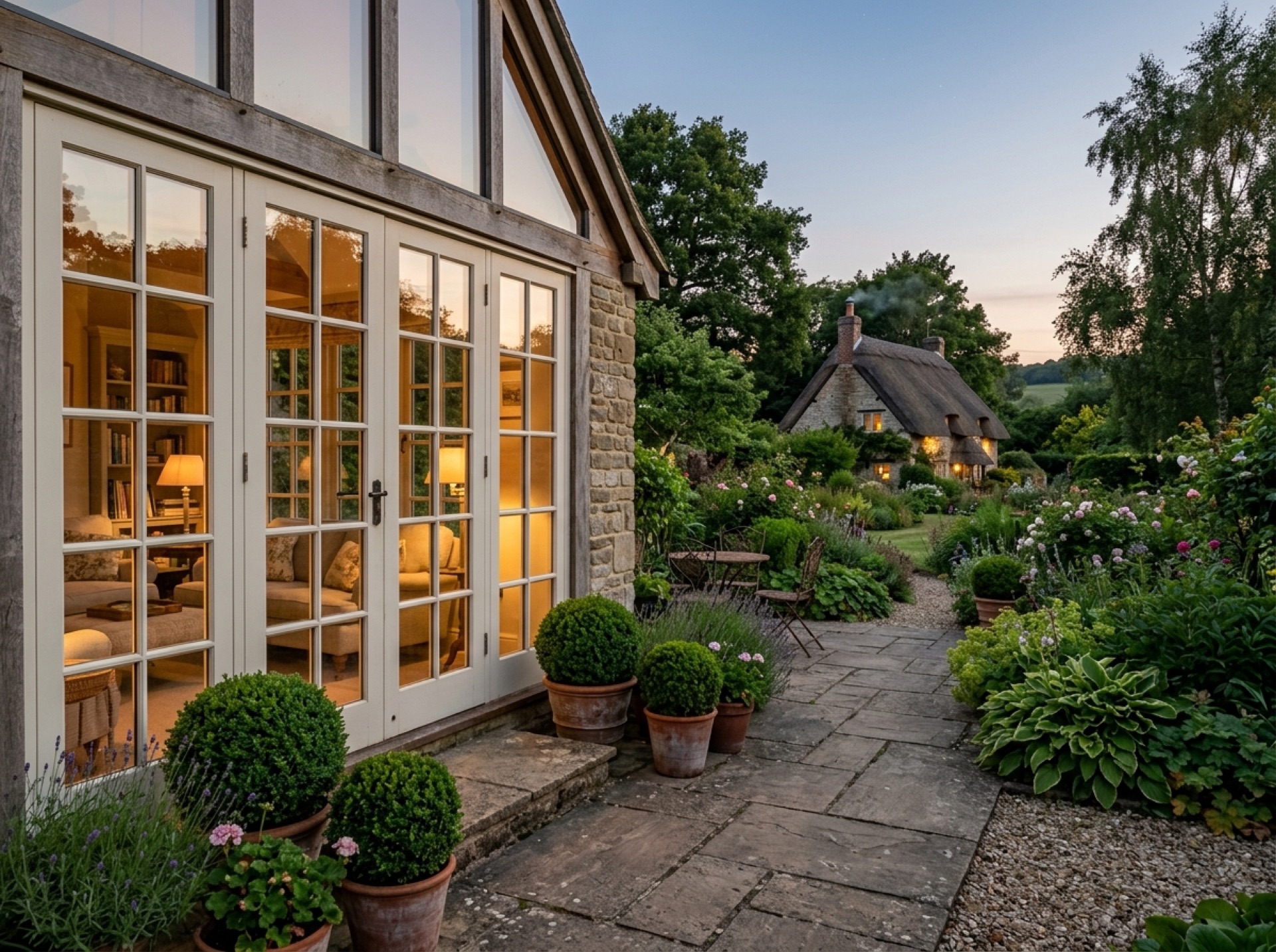
The parish stretches up onto Old Winchester Hill and part of Beacon Hill, and the South Downs Way crosses through it, giving Exton a mix of valley-bottom gardens and much higher ground within the same parish boundary.
Frequently asked questions
How old is the name Exton?+
It was first recorded in 940 as 'East Seaxnatune', making it one of the older place names this site covers.
Which authority handles planning in Exton?+
The South Downs National Park Authority, since the parish lies inside the National Park.
Nearby areas
Services
Useful local links
- Winchester City Council — Planning — Planning authority for New Alresford and most of the surrounding villages, with guidance on whether a project needs planning permission.
- East Hampshire District Council — Permitted Development — Planning authority for Alton, Ropley, Medstead, Four Marks and the other East Hampshire villages this site covers.
- Basingstoke and Deane Borough Council — Planning — Planning authority for Brown Candover and the wider Candovers parish.
- Planning Portal — Outbuildings — National guidance on permitted development rules for garden rooms, sheds and other outbuildings.
- South Downs National Park Authority — Boundary checker and planning authority for any property within the South Downs National Park, relevant to villages towards the eastern and southern edge of this site's coverage.