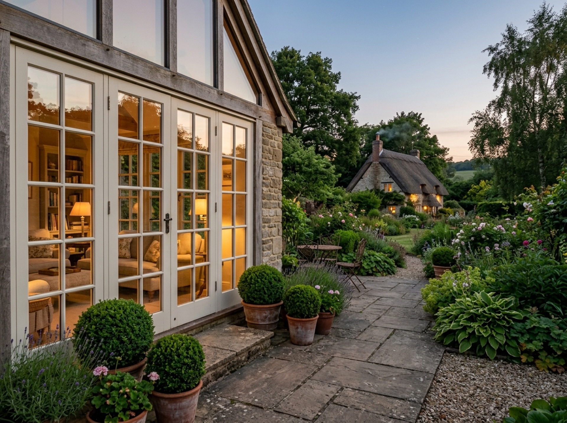
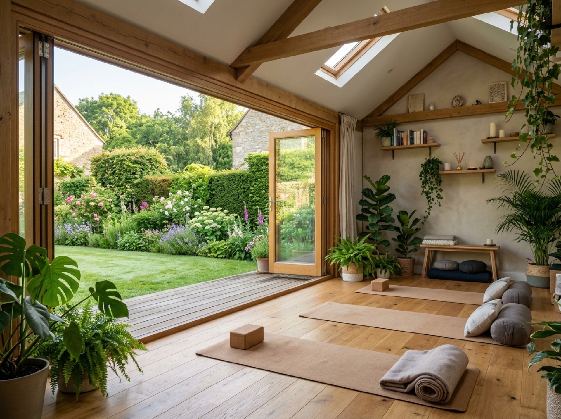
A name documented in the Domesday Book
Upper Farringdon was first recorded as 'Ferendone' in the Domesday Book of 1086, making it one of the longer-documented villages this site covers.
Planning authority
Sitting on the eastern fringe of the South Downs National Park, Upper Farringdon comes under the South Downs National Park Authority for planning, distinct from East Hampshire District Council, which handles most other services here.
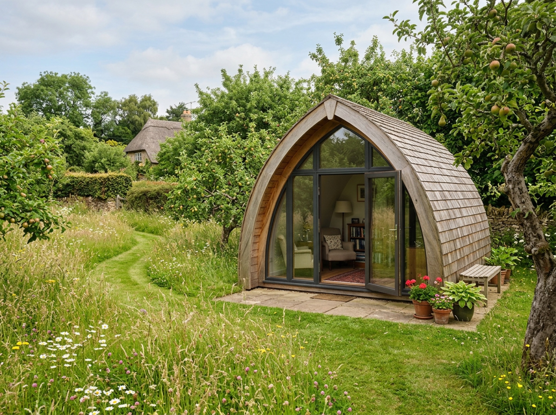
Downland walking country
The rolling chalk downland around the village makes it a popular base for walkers, and that same chalk ground affects drainage and groundwork for anything built in a garden here.
Frequently asked questions
How old is Upper Farringdon's recorded history?+
The village was first recorded as 'Ferendone' in the Domesday Book of 1086, making it one of the older documented places this site covers.
Which authority handles planning in Upper Farringdon?+
The South Downs National Park Authority, because the village sits on the eastern fringe of the National Park.
Nearby areas
Services
Useful local links
- Winchester City Council — Planning — Planning authority for New Alresford and most of the surrounding villages, with guidance on whether a project needs planning permission.
- East Hampshire District Council — Permitted Development — Planning authority for Alton, Ropley, Medstead, Four Marks and the other East Hampshire villages this site covers.
- Basingstoke and Deane Borough Council — Planning — Planning authority for Brown Candover and the wider Candovers parish.
- Planning Portal — Outbuildings — National guidance on permitted development rules for garden rooms, sheds and other outbuildings.
- South Downs National Park Authority — Boundary checker and planning authority for any property within the South Downs National Park, relevant to villages towards the eastern and southern edge of this site's coverage.