A parish of two villages
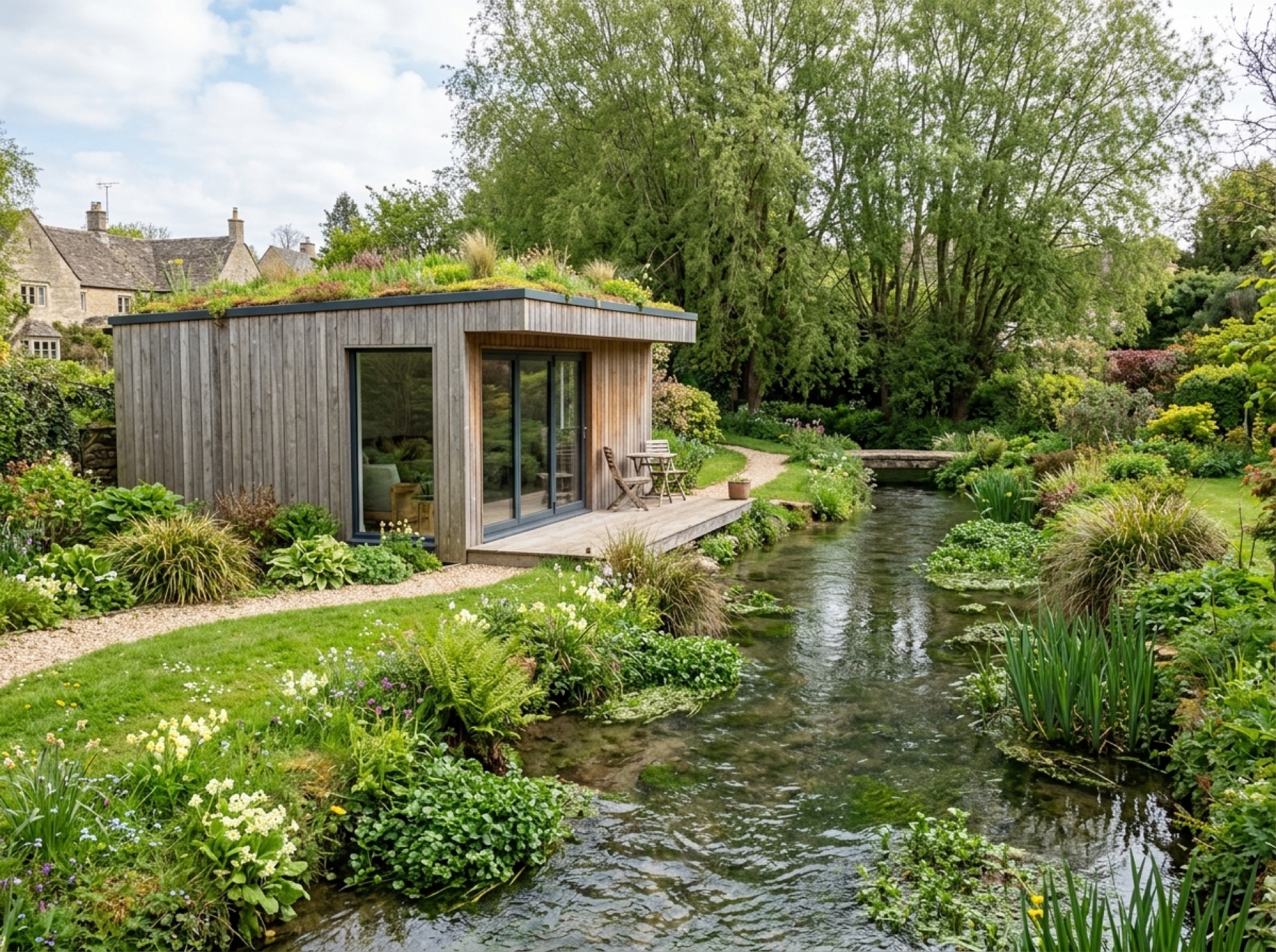
Wield parish takes in both Upper Wield and Lower Wield, two small, closely linked settlements rather than one continuous village, and the population across the whole parish remains modest.
Planning authority
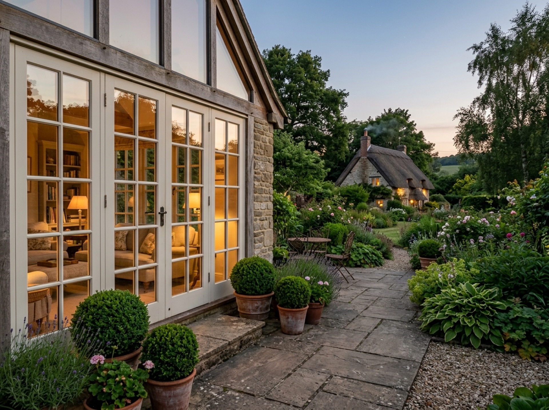
Upper Wield's parish, Wield, is administered by East Hampshire District Council for planning purposes, since it sits on the East Hampshire side of the area this site covers.
A quiet rural setting
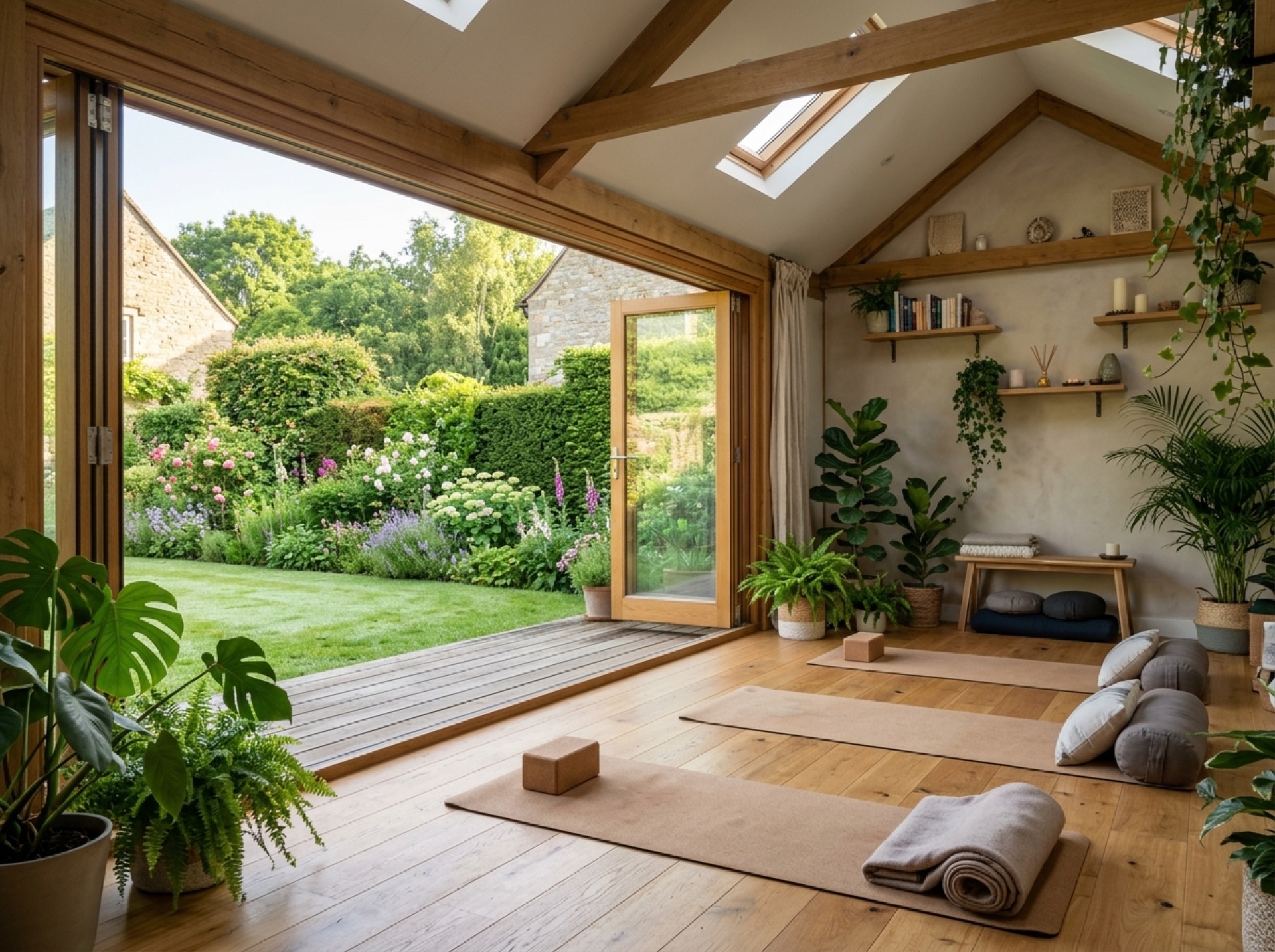
Farmland surrounds much of Wield parish, giving many properties larger plots than those closer to New Alresford, though rural access is worth raising with an installer when planning delivery of a garden room.
Frequently asked questions
Is Upper Wield the same as Wield?+
Wield is the name of the civil parish, which covers both Upper Wield and its neighbouring village, Lower Wield.
Which council covers Upper Wield?+
East Hampshire District Council, as Wield parish sits within the East Hampshire district.
Nearby areas
Services
Useful local links
- Winchester City Council — Planning — Planning authority for New Alresford and most of the surrounding villages, with guidance on whether a project needs planning permission.
- East Hampshire District Council — Permitted Development — Planning authority for Alton, Ropley, Medstead, Four Marks and the other East Hampshire villages this site covers.
- Basingstoke and Deane Borough Council — Planning — Planning authority for Brown Candover and the wider Candovers parish.
- Planning Portal — Outbuildings — National guidance on permitted development rules for garden rooms, sheds and other outbuildings.
- South Downs National Park Authority — Boundary checker and planning authority for any property within the South Downs National Park, relevant to villages towards the eastern and southern edge of this site's coverage.