
A village with an old charter
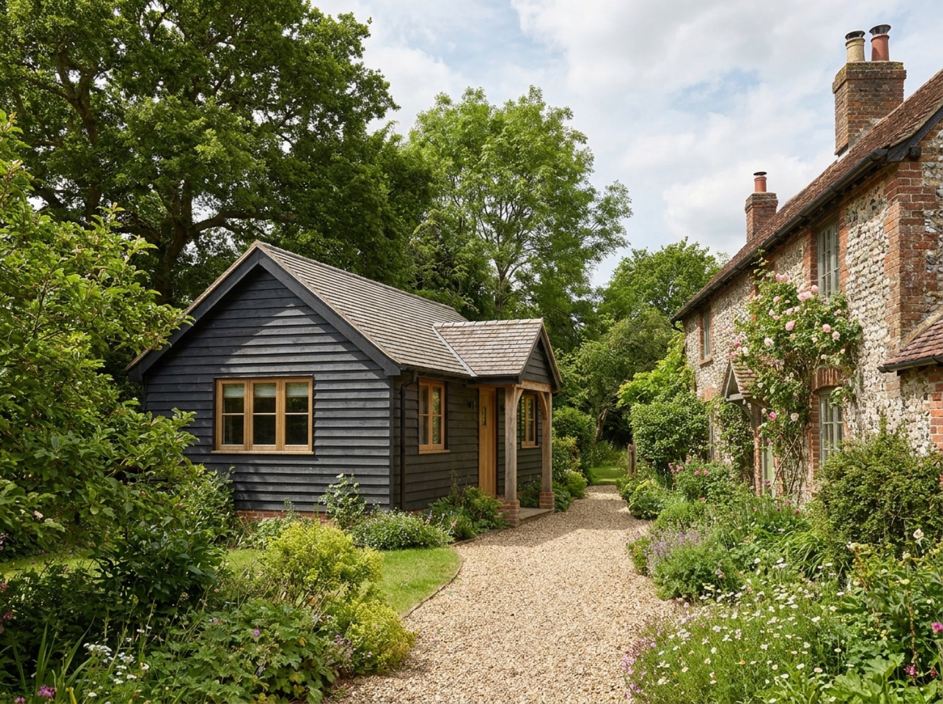
A charter from 932 AD granted West Meon to a Saxon thegn named Æthelweard, and its boundaries are said to closely match the parish as it stands today.
Planning authority
West Meon lies within the South Downs National Park, so planning applications here go to the South Downs National Park Authority rather than Winchester City Council, which still covers New Alresford itself.
Old railway, old path
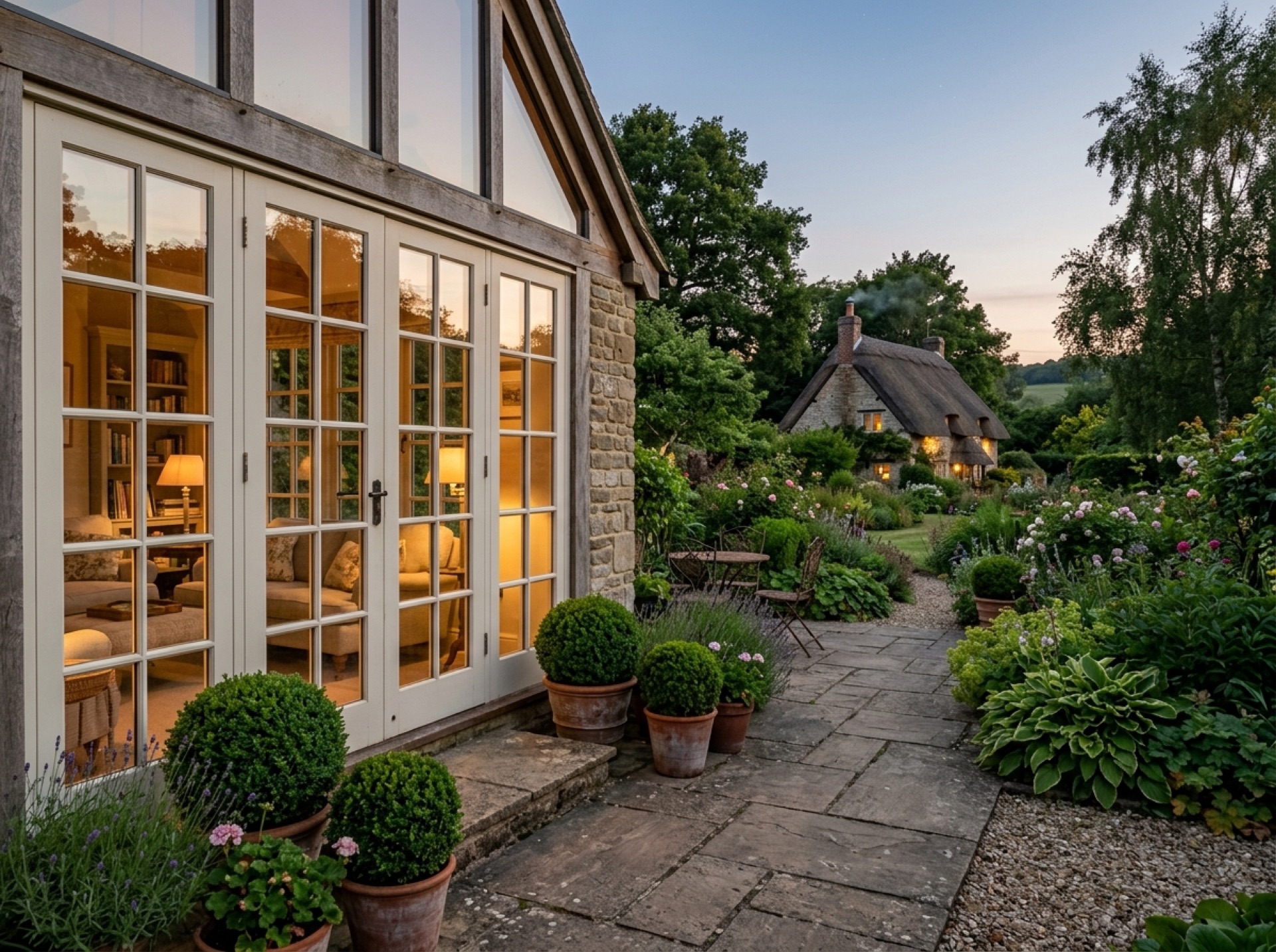
The route of the former Meon Valley Railway line runs close to the village, now used partly as a footpath alongside the South Downs Way, both crossing valley ground that can be damp near the river.
Frequently asked questions
Is West Meon in the South Downs National Park?+
Yes, the village lies within the park boundary, which is why the National Park Authority, not Winchester City Council, handles planning here.
Does the River Meon run through West Meon?+
Yes, the village sits near the river's headwaters, at the start of the Meon Valley.
Nearby areas
Services
Useful local links
- Winchester City Council — Planning — Planning authority for New Alresford and most of the surrounding villages, with guidance on whether a project needs planning permission.
- East Hampshire District Council — Permitted Development — Planning authority for Alton, Ropley, Medstead, Four Marks and the other East Hampshire villages this site covers.
- Basingstoke and Deane Borough Council — Planning — Planning authority for Brown Candover and the wider Candovers parish.
- Planning Portal — Outbuildings — National guidance on permitted development rules for garden rooms, sheds and other outbuildings.
- South Downs National Park Authority — Boundary checker and planning authority for any property within the South Downs National Park, relevant to villages towards the eastern and southern edge of this site's coverage.